Advancement in mapping technology skills is an asset for any organization in the field of Geospatial Information System (GIS) and Remote Sensing (RS). Drone mapping is an example of GIS technology for gathering data. It captures quality real-time ground information for spatial analysis to support our efforts to protect, conserve and safeguard our pristine, fragile environment.
The Secretariat of the Pacific Regional Environment Programme (SPREP) through the Environmental Monitoring and Governance (EMG) programme conducted a two-day Drone Training and Mapping workshop with key national environment stakeholders from Samoa’s Ministry of Natural Resources and Environment (MNRE) and Ministry of Works, Transport and Infrastructure (MWTI).
In his opening remarks, Director EMG Mr. Jope Davetanivalu stated that “the training was a product of talanoa sessions and discussions on the need for capacity building on GIS technology skills for data management, which have led us here today for the Drone training and mapping, as outreach efforts within MNRE and across the sectors”.
The two days workshop was coordinated by SPREP EMG and supported by MNRE. It was held at the Pacific Climate Change Centre (PCCC) on Thursday 17 and Friday 18 November 2022. The drone training and mapping workshop was also part of the 2022 Global GIS Week event at SPREP organized by the GIS unit with the theme “Inspiring Spatial Citizens”.
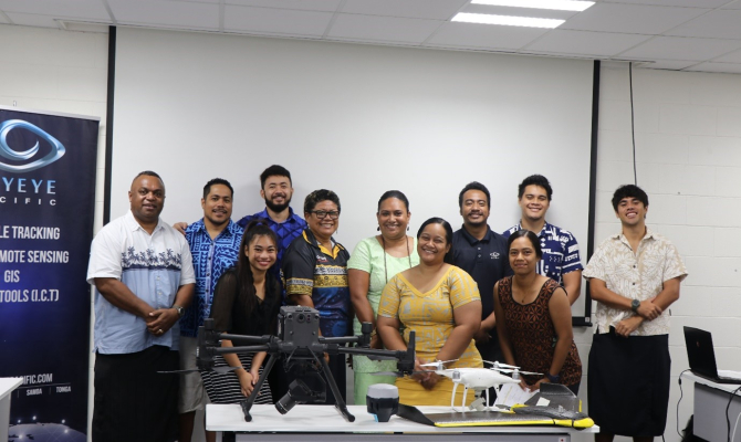
The drone training was facilitated by SkyEye Pacific as the only local drone training provider with an accredited remote pilot licensed (RPL) officer to operate a drone in Samoa. The drone training components consisted of both theory and practical applications.